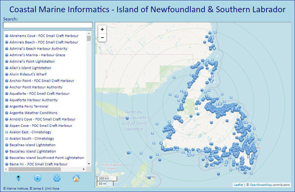
 The Coastal Marine Informatics (CMI) web resource consolidates web-accessible information on marine matters from various sources to support the activities of coastal mariners. Areal information (marine district climatology reports, published sailing directions, marine weather forecasts, hydrographical data, etc.) is combined with highly localized information (weather station reports, Internet-connected metocean observational data, ‘Light List’ navigational marker placement, cruising guide harbour and anchorage reports, etc.) to create an enriched base of marine-relevant information for use by recreational boaters and industrial marine vessel operators. CMI is a non-commercial, continually evolving, experimental facility for planning and informational purposes and is made available to interested parties with the usual 'not-to-be-used-for-navigation' proviso.
Those using CMI in conjunction with the Cruising Club of America’s Cruising Guide to Newfoundland may find the CMI-CCA Usage Tutorial useful along with those seeking descriptive material on CMI’s functionality and content.
The breadth of informatic sources of interest to mariners is extensive: hydrographical, meteorological, navigational, climatological, along with many others.